
Getting To Sde Dov: Every Way In And Out
Light rail, roads, and coastal position on a cleared runway: how plan TA/4444 draws connections in, what the lot map reserves for approved and proposed roads, and what a transport promise is worth before it opens.
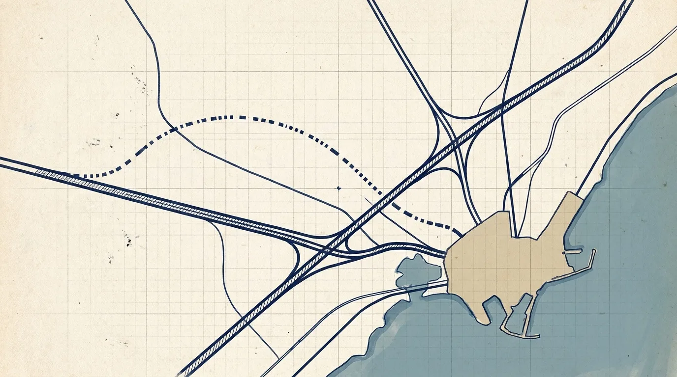
A Runway That Was Always a Corridor
Sde Dov District sits on about 1,300 dunams of former Dov Hoz airfield in northwest Tel Aviv, under its own district plan TA/4444 (in force from August 2020). TA/3700 is a separate outline plan for about 1,900 dunams of coast north of the airfield, approved in July 2012. Before it was housing land, the strip was infrastructure: a runway from 1938 to 2019, a fence, and a coastal edge the public could not walk.
A buyer asking "how do I get there?" is really asking two questions. How does the city intend the district to connect to Gush Dan (גוש דן, the greater Tel Aviv metropolitan area)? And which of those connections exist today versus on a timetable? The masterplan answers the first. The timeline and news archive answer the second.
This article maps the connections the record supports: the Green Line light rail, the road network including Ibn Gvirol and Einstein Street, the coastal position, and the road lots in the plan-lot data. It does not restate the full Green Line post; it treats rail as one mode among several.
The Green Line Spine, and Which Stage Serves Which Stop
HaKav HaYarok (הקו הירוק, the Green Line) crosses the district on the Ibn Gvirol and Gordon axis. Plan graphics show four stations inside or at the edge of TA/4444: Propes (פרופס), Nofei Yam (נופי ים), Einstein (איינשטיין), and Zahara Levitov (זהרה לביטוב), the last named for pioneering pilot Zahara Levitov.
NTA (נת"ע, the national transit authority) is building the line while towers rise beside the tracks. The documented timetable splits in two. The southern section is expected around late 2028. Full service to the northern terminus is expected around December 2030. Original targets slipped from 2025 to 2027 to 2028, with the north pushed to 2030. Trade press sources quoted in the research corpus have called even the current dates optimistic.
Write this honestly for a buyer. Propes and Nofei Yam sit on the southern section timing (~late 2028). Einstein and Zahara Levitov follow the full line (~December 2030). The northern branch is the later stage, and it carries the stations deeper into the residential grid. ZOHI on Eshkol lot 110 markets proximity to the line near Ibn Gvirol. FIRST on Central lot 2270 does the same. Check station distance against the migrash map, not against a brochure adjective.
| Station | Plan role | Documented opening stage |
|---|---|---|
| Propes | Southern district entry, toward Reading and central Tel Aviv | Southern section ~late 2028 |
| Nofei Yam | Western blocks, coastal connection | Southern section ~late 2028 |
| Einstein | Einstein Street corridor, Ramat Aviv link | Full line ~December 2030 |
| Zahara Levitov | Northern district edge | Full line ~December 2030 |
Station names and timetables: district records about page, Jul 2026 Green Line article, journal corpus §4.
Crossing the Yarkon Without Confusing the Bridges
Light rail cannot reach the sea without crossing the Yarkon River. On 27 March 2024, district records reported progress on the Green Line's Yarkon crossing, described as Tel Aviv's longest bridge for the line. June 2025 brought another progress update on works at the district's entry and exit points.
Do not confuse that structure with the Eshkol-to-Yarkon Park pedestrian bridge whose construction began on 5 August 2026. Both connect the district to the river. One carries trams on the Ibn Gvirol corridor. The other is a park link for pedestrians and cyclists south of the field.
The Einstein pedestrian and bicycle bridge is a third object again. It links New Lamed with Nofei Yam, opened on 27 November 2023 after its western span was lifted in May 2023. That crossing already exists. A buyer who conflates the three bridges will misread both today's walkability and tomorrow's tram map.
Yarkon rail bridge: 27 Mar 2024. Eshkol-Yarkon bridge start: 5 Aug 2026. Einstein bridge: 27 Nov 2023.
Ibn Gvirol, Einstein Street, and the Road Lots on the Plan
Roads appear in the plan-lot data as their own land-use class: approved roads and proposed roads, distinct from residential migrashim (מגרשים, numbered development lots). That distinction matters. A shaded corridor on the district map is not a lane you can drive today. It is a reservation the statutory plan holds for future rights of way.
Ibn Gvirol (אבן גבירול) is the spine the Green Line shares. A December 2023 district record expected the Ibn Gvirol extension in Sde Dov to open to vehicular traffic in about a year from that date. A July 2024 magazine feature framed the Rokach-Ibn Gvirol transformation as a new urban hub between downtown and Sde Dov. An August 2025 magazine piece traced Ibn Gvirol from world heritage to future Tel Aviv. The corpus records the planning intent and milestone headlines, not a daily traffic count.
Einstein Street is the other named corridor. An April 2026 article described it as "on its way to becoming a main urban street" between Ramat Aviv and Sde Dov, with construction works photographed along the route in June 2025. Einstein station on the Green Line follows that street. Road and station share a corridor by design.
Three Complexes, Three Entry Characters
Planners divide TA/4444 into three mitcham (מתחם, complexes). Mitcham Eshkol (מתחם אשכול) in the south is the most advanced on permits and construction. Mitcham Merkaz (Central) holds about 6,000 to 7,128 units. Mitcham Tzafon (North) holds about 4,022 units. Each complex has its own lot numbering: Eshkol residential lots 101 through 111, Central lots in the 2200s, North lots in the 3100s.
Propes station sits at the southern entry, near the Reading (רדינג) power-station edge and the connection toward central Tel Aviv. That makes Eshkol the complex most tied to the southern road-and-rail gateway. Central projects such as GINDI VOGUE and FIRST trade on sea-line position about 250 metres from the waterfront on the plan's western edge. North lots cleared the March 2025 tender wave after appeals were rejected on 20 March 2025.
A migrash number tells you which complex you are in. It does not tell you which bus you catch tomorrow. For that, separate today's road network from the plan's proposed roads.
The Coastal Position: Sea First, Then Blocks
TA/4444 programmes two kilometres of public beach along the district's western edge. The plan coming into force in August 2020 kept that coastal strip public even as the program added about 16,000 homes, about 125,000 square metres of hotels (~3,000 rooms across 16 lots, eight on the beachfront), and a stepped skyline of fabric buildings and towers.
The coastal committee approved masterplan elements tying residents to the beach in February 2019, before validation. The Park HaChof (פארק החוף, Coastal Park) promenade opened in September 2023. You can walk the shore now. You cannot yet walk from every sold apartment to that promenade on finished internal streets.
Coastal access is the district's fixed western boundary. Road and rail connections are how you reach that boundary from the east and south. A tower marketed as "first line to the sea," such as FIRST on lot 2270, is a position claim on that boundary, not a guarantee about traffic on Ibn Gvirol on move-in day.
Beach length and hotel scale: TA/4444 / masterplan-explained post. Promenade opening: 13 Sep 2023.
Infrastructure Works and the Fifth Water Line
Moving people is only half of occupancy infrastructure. Galnur Binui and Olitzki Infrastructure won the Tel Aviv municipality's Central and North infrastructure tender (55/2025), per the district catalog. July 2026 brought an Environmental Protection Ministry demand to halt infrastructure works while contamination and soil treatment are handled, after PFAS findings in February 2026.
On 16 August 2026, approval of Tel Aviv's fifth water line was framed as paving the way to occupying Sde Dov. Mekorot and Mei Avivim appear in the catalog as the water utilities behind that program. A fifth water line is not a tram stop. It is another example of how the city sizes backbone utilities before keys.
First occupancy in the district is targeted around 2029, with full build-out toward about 2035. Those dates are planning targets, not guarantees for any single project. Transport and utility timetables should be read with the same caution.
What a Transport Promise Is Worth Before It Opens
Israeli off-plan sales often market "future" stations, road widenings, and bridge openings as amenities. The statutory plan can reserve them. The lot map can label proposed roads. None of that equals a ride on opening day.
Three tests help. First, is the asset on the plan map or in a contractor's yard? The Einstein pedestrian bridge is open. The Eshkol-Yarkon bridge was a construction start in August 2026. Green Line stations are under construction with a split timetable: southern section ~late 2028, full line ~December 2030. Second, which permit stage applies? An excavation permit on a tower is not the same as a full building permit, and neither is an occupancy permit. Third, has the date moved before? The Green Line slipped repeatedly in independent reporting summarized in the corpus.
A contract that cites "five minutes to the sea" may mean five minutes on a promenade that opened in 2023. A contract that cites "five minutes to the train" may mean five minutes to a stop that the file schedules for 2028 or 2030. Ask which station, which section, and which source. Where the record is silent, "the file does not say" is the honest answer.
A reservation on the plan map is not a lane you can drive today.
Reading the Commute as a Buyer
Start from what you can verify on the ground in 2026. Walk the Coastal Park promenade. Cross the Einstein bridge if your lot is on the Nofei Yam side. Drive or ride the roads that already connect Eshkol to Ramat Aviv and central Tel Aviv. Then overlay the plan: four Green Line stations, Ibn Gvirol extension headlines, Einstein Street as a future main urban street, proposed road lots still unbuilt.
Eshkol buyers signing in 2026 may get keys around 2029 on the district target, before Einstein and Zahara Levitov stations open on the full-line timetable. Central buyers marketing Green Line proximity should be checked against Propes or Nofei Yam distance if they need rail before 2030. North buyers are on the latest tender wave with infrastructure contractors named but much of the street grid still ahead.
Transport is drawn on the same maps as the lots because the city expects tens of thousands of residents on a former runway. The maps are the promise. The timetables are the qualification. Treat both as planning facts, not as move-in specifications, until the opening announcement matches the file you kept.
Projects in this story
Questions about buying here?
We are an independent guide. Tell us what you are looking at and we will answer with sources.