
The Sde Dov Journal
Long reads on the district, written from the record, with a source on every figure. History, plans, tenders, projects, and the questions that matter before you buy.
 Shavnu illustration
Getting To Sde Dov: Every Way In And Out
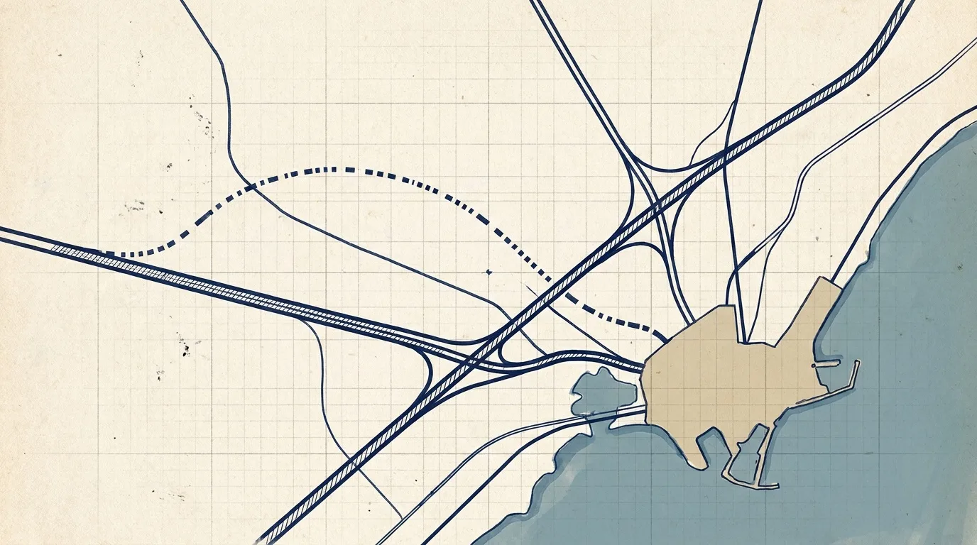
Light rail, roads, and coastal position on a cleared runway: how plan TA/4444 draws connections in, what the lot map reserves for approved and proposed roads, and what a transport promise is worth before it opens.
Four Stations to the Sea: What the Green Line Means for Sde Dov
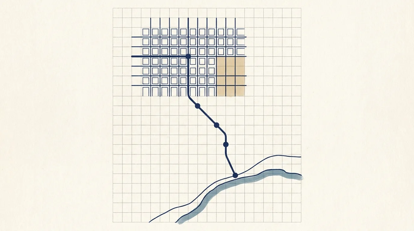
The Green Line light rail crosses Sde Dov on the Ibn Gvirol and Gordon axis with four stations. Southern section around late 2028, full service around December 2030. Here is the spine, the Yarkon bridge, and what station proximity actually means for each complex.
How Tall, How Many: The Rules Behind The Skyline
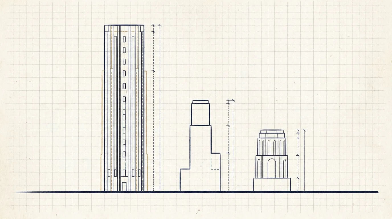
Seven marketed projects, seven height profiles: how TA/4444's fabric-and-tower rules translate into floors and units on the registry, and why the skyline clusters the way it does.
Not Just Apartments: The Hotels, the Marina, and Reading's Second Life
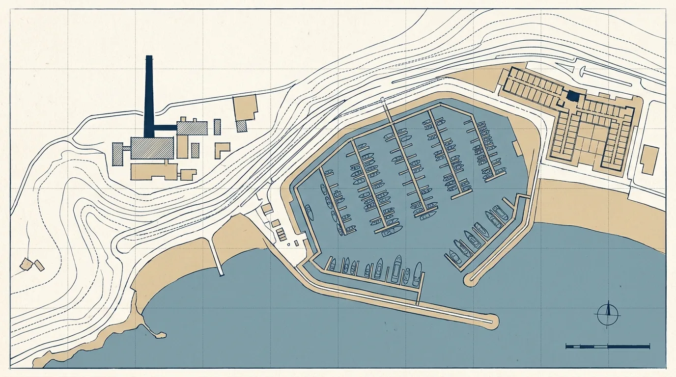
Plan TA/4444 budgets ~3,000 hotel rooms, a five-hotel ILA mega-tender, Eshkol's first two hotel lots, and a southern edge where Reading power station, fuel tanks, marina, and park are being rewritten at once.
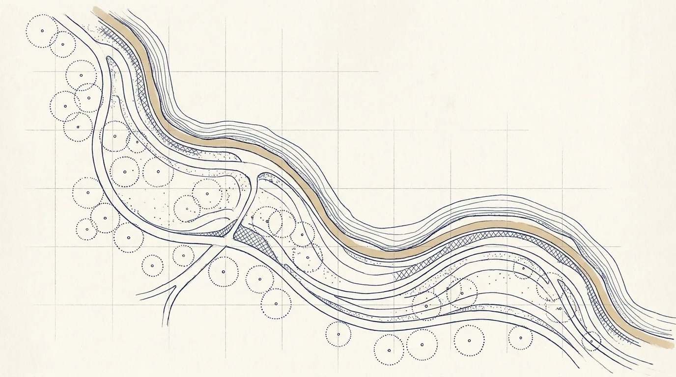
A Third of the Ground Is Green: The Parks, the Promenade, and Two Kilometers of Beach
Plan TA/4444 locks about 365 dunams of parks and two kilometres of public shore on the old airfield. Here is what you can already walk, what is still a drawing, and how the lawns are supposed to be watered.
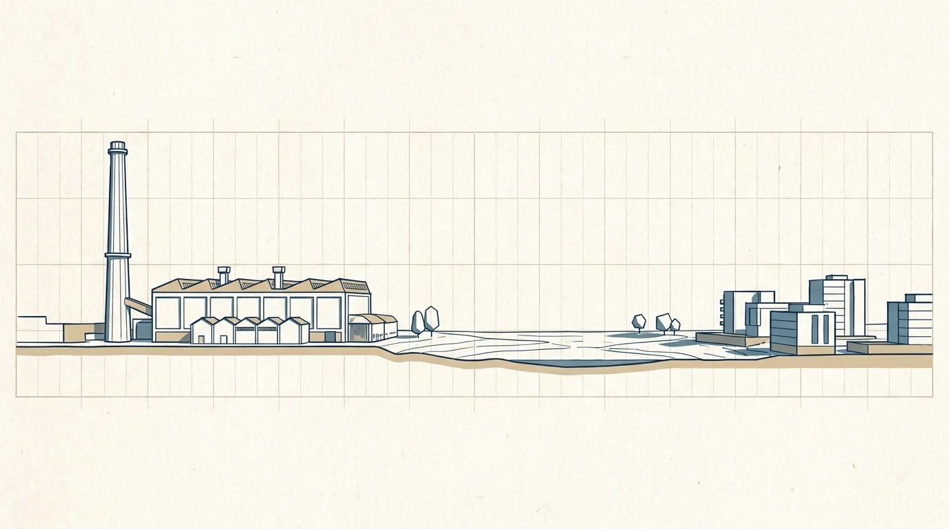
The Neighbour Nobody Mentions: Reading Power Station
The 1938 power station sits beside the district on the southern edge. What the record says about its presence, its stop generating, and its unsettled second life.
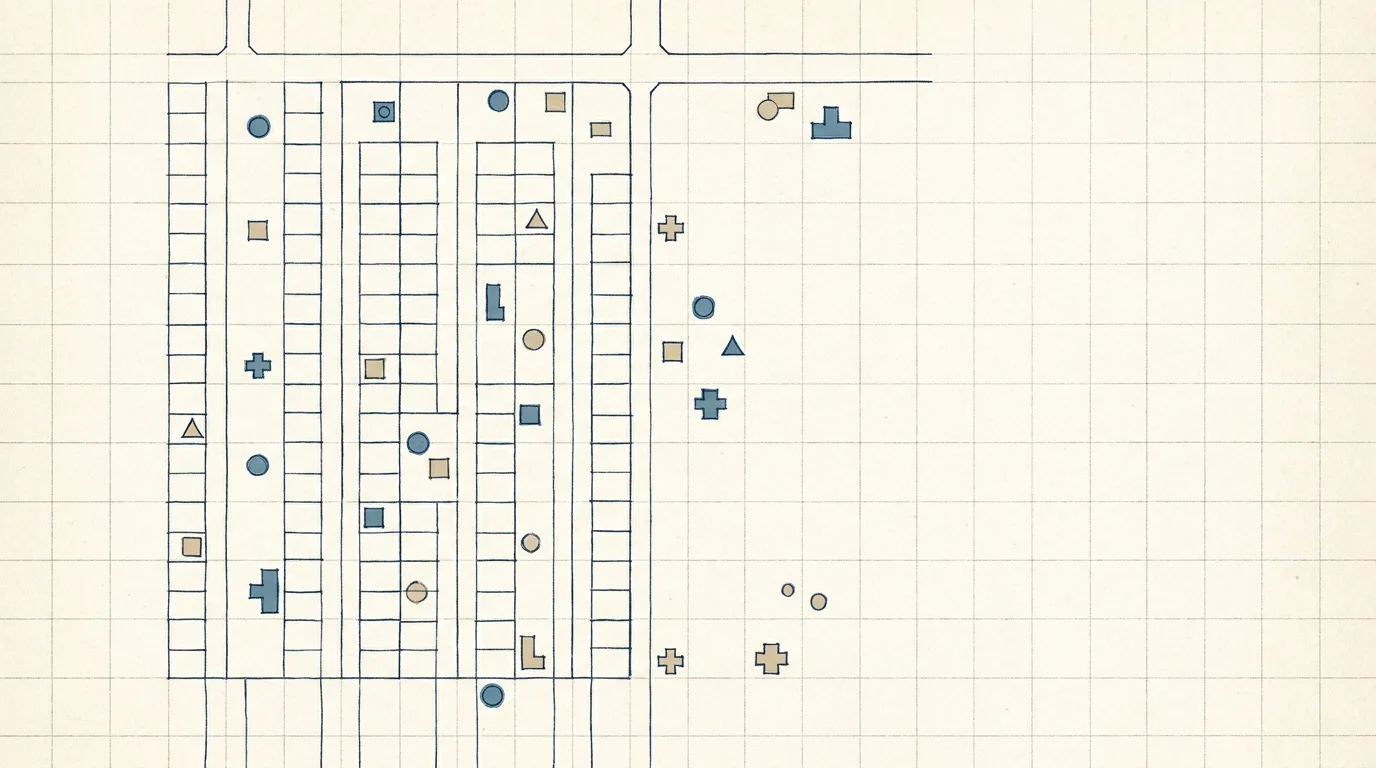
Schools, Clinics And Shops: Daily Life In A District Being Built
Public buildings and commerce designations reserve schools, clinics, and shops on the plan map. The gap between a reserved plot and an open school, and why services typically lag the first keys.
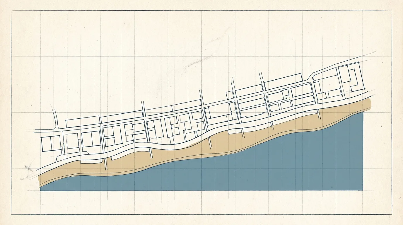
Two Kilometres Of Coast: Who Gets The Beach
Public beach, coastal park designations, and the promenade you can walk today: an access and ownership angle on TA/4444's two-kilometre shore, without repeating the parks inventory.
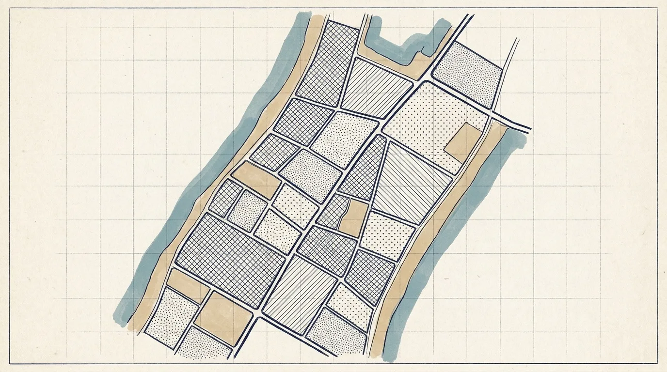
A Third Of The Ground: What The Plan Reserves That Is Not Housing
Plan-lot land uses from residential and employment to parks, roads, and antiquities: what each TA/4444 designation permits in Israeli planning, and what the mix tells a buyer about life beyond the tower lobby.
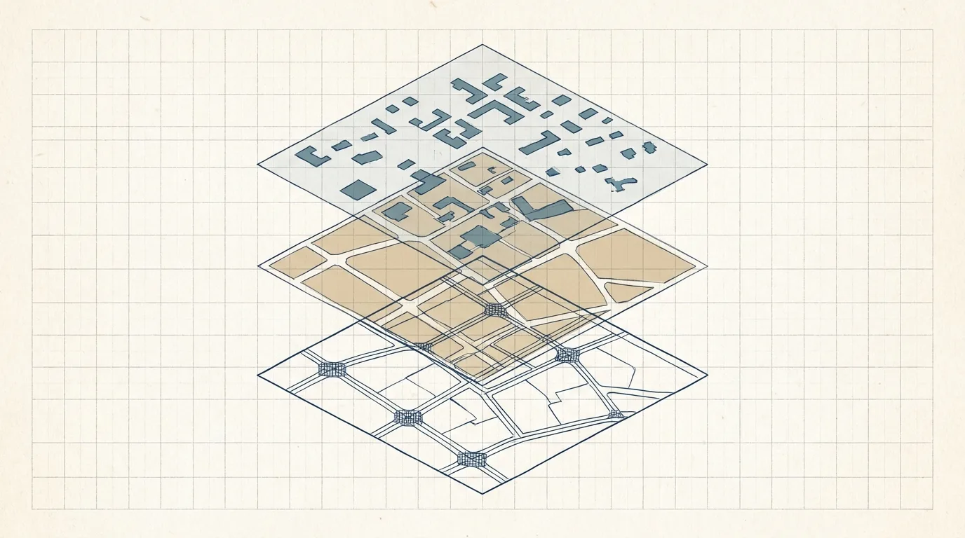
TA/4444, Decoded: How to Read the Sde Dov Masterplan Like a Planner
The validated district plan packs 16,000 homes, three complexes, a stepped skyline, and a light-rail spine into 1,300 dunams of former runway. Here is how to read it.